Blog · September 28, 2026
Checking a Camera Without Crossing the Next Lot
The walk in should stay on your side.
Platbookmapper is an Amazon Associate. If you buy through an Amazon link on this page, we earn a commission. The link is a product, not the county map.
Why this comes up
The walk in should stay on your side. Mark the camera and the gate as waypoints so the walk back does not drift across a woods line.
What to check on the map first
County GIS lines are assessment maps. They are not a survey, and a product will not redraw them.
Open Platbookmapper and choose the state. The directory sends you to the county viewer. Match the parcel ID before you trust a pin on an aerial photo.
A tool that matches the job
Shop the Handheld GPS when that is the job in front of you. Mark the camera and the gate as waypoints so the walk back does not drift across a woods line.
The limit
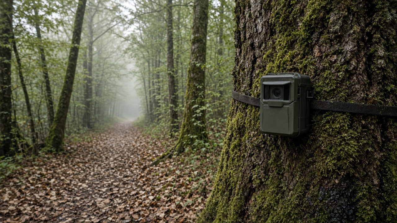
Hang the camera on your tree and face it into your parcel. A photo does not prove where the line is.
If the line is the real question, call a surveyor. The gear will not answer it.
Not a survey. County GIS and tax parcel maps are assessment and planning layers. They are not a substitute for a recorded plat, deed, or licensed survey.